

Canary Islands Weather Update as Gonzalo Departs
The Canary Islands face weather changes as Gonzalo's influence wanes, with occasional rain and temperature shifts expected.
The Canary Islands are experiencing weather changes following the departure of Gonzalo. While the system did not directly cross the islands, its associated moisture has increased cloudiness. Occasional rain and isolated storms might occur overnight, with temperatures expected to drop before conditions stabilize on Monday.
Gonzalo, having transitioned from a tropical cyclone to a post-tropical system north of Cape Verde, is weakening. Despite not passing over the Canaries, its moisture has impacted the region’s weather.
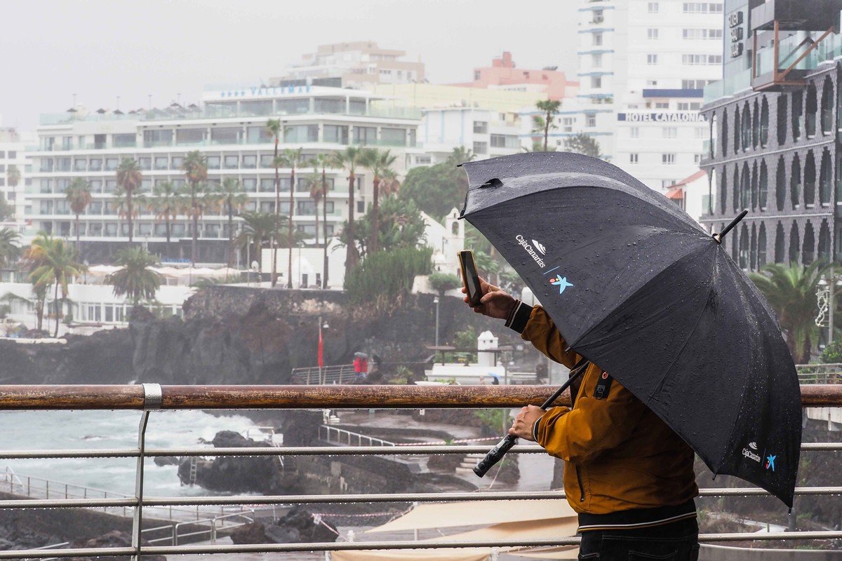
This Sunday saw rainfall in various parts of the archipelago. In Tenerife, Izaña recorded 0.4 liters per square meter by 9 a.m., with temperatures at 8.7 degrees and humidity at 95%. Gran Canaria’s Lomo Pedro Alfonso reported similar rainfall in the morning.
We keep our clients updated on Tenerife’s weather shifts. Planning viewings around stable conditions is essential. We ensure our clients are ready for any sudden changes.
The forecast for Monday, September 28, indicates some instability early in the day. Cloudy intervals and potential rain are expected, with isolated storms possible overnight. As the day progresses, clearer skies are likely.
In Tenerife, early cloudiness will gradually give way to clearer skies. Afternoon clouds may develop inland, with occasional rain possible. La Palma might see early rain, with increasing cloud cover later and possible overnight storms.
Our team closely monitors these weather patterns. We guide clients on optimal times for property viewings and adjust their travel plans as needed.
Temperatures will slightly decrease, more noticeable in southern and western coastal areas. However, some regions may still reach highs of 30 degrees.
Sunday’s thermal contrast was evident, with Izaña below nine degrees in the morning, while Adeje reached 27.8 degrees by 2 p.m.
We focus on ensuring our clients’ comfort and safety. Understanding temperature variations helps us tailor their experiences, whether for property tours or leisure activities.
Monday may still have some high-altitude haze, diminishing throughout the day. Winds will generally be light from the east, with coastal breezes and weak west winds in the mountains.
Marine conditions are stable, with no coastal warnings until midday Monday. Northwest swells between one and two meters are expected in northern and eastern sectors of the western islands, with showers near La Palma and El Hierro until night.
As Gonzalo’s moisture influence fades, the Canary Islands will start the week with possible rain, cooler temperatures, and a gradual shift towards more stable weather.