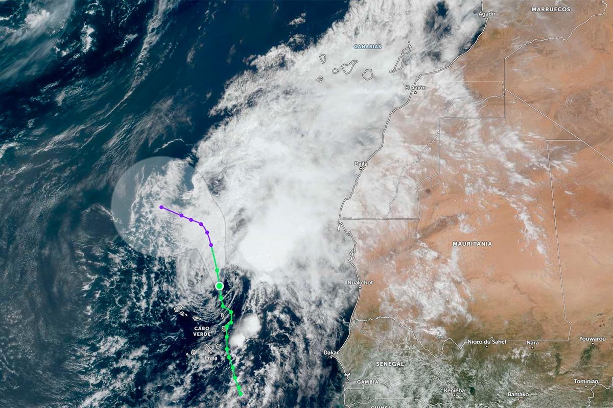



Weather Alert: High Temperatures and Dust Haze Expected in the Canary Islands
This Saturday, the Canary Islands will experience high temperatures, dust haze, and strong winds, according to the State Meteorological Agency. Temperatures could reach up to 34 ºC in some areas, with notable dust presence in higher altitudes.
This weekend, the Canary Islands are set to face a weather pattern characterized by high temperatures, dust haze, and overcast skies, as forecasted by the State Meteorological Agency. Temperatures may soar to 34 ºC in certain regions, accompanied by strong winds in the early hours.
The dust haze will be more noticeable in mid-altitude and high-altitude areas, particularly in the latter half of the day. Additionally, there will be a prevalence of medium and high cloud cover, with a slight chance of light, sporadic rain in the western islands and Gran Canaria.
In Tenerife, temperatures are expected to exceed 30 ºC along the coasts and lower mid-altitudes, potentially reaching 34 ºC in the northern and southern coastal areas. The northeastern wind may blow strongly in the southeast and northwest during the morning, but it will generally weaken by midday.
La Gomera will also experience cloudy skies with medium and high clouds, and a low chance of light rain later in the day. The dust haze will intensify in mid-altitude and high-altitude areas during the afternoon and evening, with temperatures generally surpassing 30 ºC.
La Palma will see similar conditions, with medium and high cloud cover and a low probability of light rain. The dust haze will become more significant in mid-altitude and high-altitude areas from the afternoon onwards, with temperatures exceeding 30 ºC in coastal and lower mid-altitude regions.
For those considering a visit or investment in the Canary Islands, it's important to be aware of the upcoming weather conditions. High temperatures and dust haze can impact outdoor activities and visibility. If you're planning to explore properties or enjoy leisure activities, consider scheduling them for the cooler parts of the day. This weather pattern is typical for the region, so it's advisable to stay informed about local forecasts.